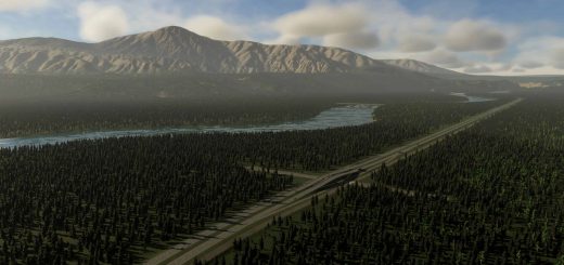
Glastonbury 7000BC V0.0.1

Glastonbury 7000BC V0.0.1
Glastonbury, England, 7000 BC
Modern day Glastonbury hill now lies almost 15 miles from the coast, surrounded by the Somerset Levels, but it wasnt always that way. Glastonbury Tor was once an island in a bay leading to the sea, surrounded by water.
This map represents that ancient coastline, before the water went bye-bye.
Evidence shows that Glastonbury has been a site of pilgrimage for many thousands of years, far into prehistory. The hill is mentioned in Celtic mythology, particularly in myths linked to King Arthur, and has several other enduring mythological and spiritual associations. The modern Welsh name for the hill reflects it’s Celtic history, the name being Ynys Wydryn, or sometimes Ynys Gutrin, meaning “Isle of Glass”.
Installation:
Extract the .cok and .cok.cid files into your folder “AppData/LocalLow/Colossal Order/Cities Skylines II/Maps”
If there is no “maps” folder yet in this folder, create a Maps folder.
Map Information: THEME: European CLIMATE: -5 – 33 C LATITUDE: Northern Hemisphere BUILDABLE AREA: 57% OUTSIDE CONNECTIONS: All Connections available. Road. Rail. Sea. Air. Power. NATURAL RESOURCES: Fertile land, Oil, and Ore cover most of the map.
Cheers, AncientSwan
Credits:AncientSwan


