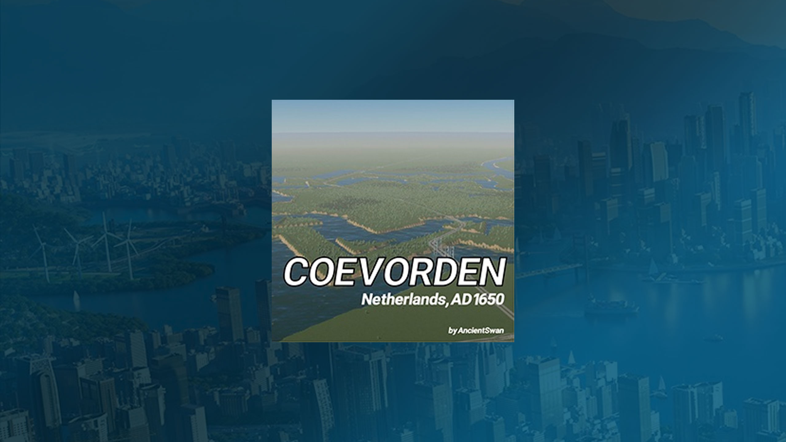
Coevorden Netherlands AD 1650 Map V0.0.1

Coevorden Netherlands AD 1650 Map V0.0.1
Coevorden received city rights in 1408. It is the oldest city in the province of Drenthe, Netherlands.
The city was captured from the Spanish in 1592 by a Dutch and English force under the command of Maurice, Prince of Orange. The following year it was besieged by a Spanish force but the city held out until its relief in May 1594. Coevorden was then reconstructed in the early seventeenth century to an ideal star fortress city design. The streets were laid out in a radial pattern within polygonal fortifications and extensive outer earthworks in the shape of a star.
The city of Coevorden indirectly gave its name to the city of Vancouver, which is named after the 18th-century British explorer George Vancouver. The explorer’s ancestors (and family name) originally came to England “from Coevorden” (van Coevern in Dutch Low Saxon).
In the centuries since the star fort was built it has become obsolete and its moats have been refilled with soil. This map represents Coevorden as it originally was, circa AD 1650.
Installation:
– Extract the .cok and .cok.cid files into your folder “AppData/LocalLow/Colossal Order/Cities Skylines II/Maps”
– If there is no “maps” folder yet in this folder, create a Maps folder.
Map Information: THEME: European CLIMATE: 11 – 27 C LATITUDE: Northern Hemisphere BUILDABLE AREA: 84% OUTSIDE CONNECTIONS: All Connections available. Road. Rail. Sea. Air. Power. NATURAL RESOURCES: Fertile land, Oil, and Ore cover most of the map.
Credits:AncientSwan


