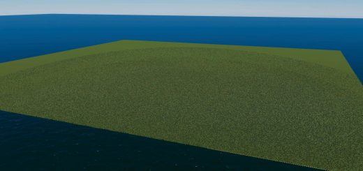
Cahokia Map V0.0.1

Cahokia Map V0.0.1
Cahokia, USA, AD 1350
Cahokia is the site of a pre-Columbian Native American city (which existed c. 1050–1350 CE) directly across the Mississippi River from modern St. Louis, Missouri. This historic site lies in south-western Illinois, covers 2,200 acres (890 ha), or about 3.5 square miles (9 km2), and contains about 80 humanmade mounds, but the ancient city was much larger. At its apex around 1100 CE, the city covered about 6 square miles (16 km2) and included about 120 earthworks in a wide range of sizes, shapes, and functions. At its peak the population of Cahokia is thought to have been higher than cities such as London.
Cahokia was the largest and most influential urban settlement of the Mississippian culture, which developed advanced societies across much of what is now the Central and the Southeastern United States, beginning more than 1,000 years before European contact. Today, the Cahokia Mounds are considered to be the largest and most complex archaeological site north of the great pre-Columbian cities in Mexico.
Installation:
- Extract the .cok and .cok.cid files into your folder “AppData/LocalLow/Colossal Order/Cities Skylines II/Maps”
- If there is no “maps” folder yet in this folder, create a Maps folder.
Map Information: THEME: North AMerican CLIMATE: 10 – 31 C LATITUDE: Northern Hemisphere BUILDABLE AREA: 74% OUTSIDE CONNECTIONS: All Connections available. Road. Rail. Sea. Air. Power. NATURAL RESOURCES: Fertile, Oil, and Ore and cover most of the land.
Cheers, AncientSwan
Credits:AncientSwan


